The Good Steward
Mapping Tool
Discover and map resources,
identify opportunities to respond to needs,
and increase impact.
In partnership between

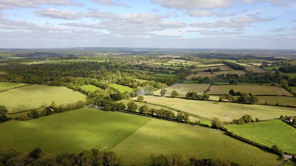
The Good Steward Mapping Tool creates an interactive map of all the building, land, and social action resources owned by the diocese. It does this by collecting and combining land registry data, secondary data, and local church leader perceptions (collected through an online questionnaire).
As a result, local and national church leaders are able to fully discover and map their resources, identify opportunities to respond to needs, and increase impact.

Understand resources
Map and understand all the resources owned and used by the Church of England in the diocese, as well as the needs of the local community. This includes:
Building resources
Land resources
Social action of churches across the diocese
Local demographics
Indices of social deprivation, unemployment, and crime

Identify opportunities
Identify opportunities to use these resources to increase impact and partnership potential with other local groups.

Increase impact and generate income
Strategically use these resources to increase impact and improve local relationships.
Mapping your diocese
1. Book a free tool demonstration
If you are a diocesan or church leader, please complete the form to book a free demonstration of the tool. During this call Eido and Knight Frank will discuss how this tool can help your diocese increase its impact through building and land resources.
2. Map creation
Based on Land Registry and other secondary data, Knight Frank will create an interactive map with all land and building resources owned by the diocese. This map will provide a template for further data to be added from clergy.
3. Online questionnaire completed by all clergy
Eido will partner with diocesan leaders to circulate an online questionnaire to all clergy in the diocese. This questionnaire will ask questions around building and land use, as well as social action resources.
4. Analysis and enrichment
Both primary and secondary data collected will be aggregated into the online map. Further enrichment by Knight Frank will add additional layers such as social demographic data, flood risk, and adjacent land holdings
5. Reporting and consultation
Final deliverables include a bespoke online interactive map, with accompanying PDF report. In addition, Eido and Knight Frank will provide consultation to enable leaders to continue to use their map and integrate findings into actionable next steps.
Book a free demonstration
Leave your details and we will notify you when our next tool demonstration will be.